
Walk a Plant City Street
A Plant City street directory search begins with the parcel, not a guessed household. The Hillsborough County Property Appraiser identifies the owner, situs address, mailing destination, folio, legal description, exemptions, sales, and map link. Those fields establish ownership and assessment facts. They do not name every renter, family member, or person staying at the address.
Build the address trail in a fixed order so names from different years do not get mixed.
- Normalize the street number, direction, and suffix, then search the address in HCPA.
- Save the folio and legal description before opening the parcel map.
- Click each adjoining parcel and open its own card rather than reading only map labels.
- Carry sale instruments and owner names into the Clerk's deed index.
- Use lawfully requested voter data and the correct historical directory edition as separate dated checks.
That sequence turns an address into an owner trail, then tests whether another public roll supports residence at the relevant time.
Plant City Address Search Fields
The HCPA Property Search accepts the three strongest starting keys for a Plant City street directory: owner name, street address, and folio. Subdivision or condominium terms and map navigation can narrow duplicate or incomplete addresses. Dynamic options may change, so rely on the displayed parcel result rather than assuming every current filter.
| Field | Input | Street use |
|---|---|---|
| Owner Name | Person, trust, or entity | Find all matching parcels |
| Address | Number and street | Open one situs parcel |
| Folio / Parcel | County identifier | Return to an exact record |
| Subdivision | Recorded development name | Separate similar streets |
| Map navigation | Selected parcel | Browse adjoining lots |
The parcel record should yield owner, mail and situs addresses, municipality, legal description, values, exemptions, sale history, building traits, and a map link.
Plant City Street Record Terms
Address records use several terms that sound interchangeable. They are not. The distinction matters when an owner lives elsewhere or when an old street number has changed.
- Parcel or folio
- The county's identifier for one assessed tract.
- Situs address
- The physical location of the land or building.
- Mailing address
- The destination for the owner's tax notice.
- Plat
- A recorded map dividing a subdivision into blocks, lots, streets, and easements.
- Criss-cross directory
- A directory section arranged by street and house number rather than surname.
The deed's legal description and folio are stronger continuity keys than the street number alone.
Browse Plant City Streets in GIS
Once HCPA returns the target parcel, open its GIS map, zoom to the block, and click polygons on both sides and across the street. Open each parcel card separately. A map label is a shortcut, while the card supplies the owner form, mail destination, situs, folio, and current assessment detail.
Entity and trust ownership requires care. An owner name is not automatically a neighbor's name, and a homestead exemption is suggestive rather than conclusive evidence of owner occupancy.
Plant City Streets Through Deeds
A current parcel's sale history can supply an instrument number or prior owner. Carry that fact into the Clerk's Official Records Index. Search by party name, record date, document type, instrument, book and page, or legal description. In a deed, the grantor is the transferring party and the grantee is the receiving party. Repeat the seller as an earlier grantee to move backward.
The Clerk's recording overview is shown in the assigned source image.
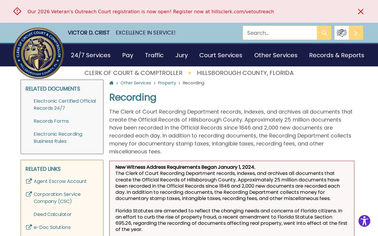
The county material explains why a legal description and instrument citation are more reliable than a loose address match.
Remote searching begins in 1965. Archived official-record indexes cover 1958 through 1966, archived deed indexes cover 1948 through 1957, and staff-assisted Records Library material reaches 1836. Unrestricted online images may be free; certified and staff-researched copies follow the Clerk's published charges.
Plant City Permits by Address
Building applications and related files can associate an owner, applicant, contractor, parcel, legal description, and work description with an address on a date. They can help date an addition, demolition, or major repair. They do not establish who lived there for the full permit period.
The Plant City Building Division is the primary custodian for parcels inside city limits. Its official page appears in the assigned image.

The source connects a city parcel to building forms and request channels without claiming an unverified online permit cutoff.
For a postal Plant City address outside the corporate boundary, use Hillsborough County's applicable development or code office. Ask for the permit number, application, inspection history, certificate of occupancy, and code orders as distinct records.
Plant City Records Found by Street
Each address-keyed source contributes one layer. The Plant City street directory becomes credible only when the source and date remain attached to every name.
| Record Set | Keeper | What It Shows | Access |
|---|---|---|---|
| Property roll | HCPA | Owner, mail/situs, exemptions, sales | Free portal |
| GIS parcel map | HCPA | Adjacent parcel geometry | Free map |
| Deeds and liens | Hillsborough Clerk | Parties, dates, legal description | Index, archives, counter |
| Voter data | Supervisor of Elections | Reported registration address | Self-lookup or request |
| Permits and code | City or county | Applicant, contractor, work dates | Portal or defined request |
| Reverse directories | History Center or library | Listed occupant by street | Reading room or reference request |
The folio ties tax and map records together. The legal description bridges the deed index, while the normalized street address links permits, voter data, and a reverse directory edition. No one field makes all sources current at once.
Plant City Voters Along Streets
The county's Voter Information Lookup requires first name, last name, and date of birth. It is designed for a voter to verify a personal record, polling place, recent activity, sample ballot, and vote-by-mail status. It does not let a visitor browse every person on a block.
Street-level work uses the lawful data route instead. Hillsborough offers standard electronic reports and accepts other requests by online form, email, phone, or office visit. Public fields can include a registered name, residence and mailing address, status, party, registration date, precinct, district, and participation history. Protected identifiers and protected addresses are removed. Registration is dated, self-reported evidence, not present occupancy.
Read Old Plant City Streets
The Plant City Photo Archives reports Polk directories from various years between 1955 and 2000. A reverse or criss-cross section, where an edition includes one, starts with a street and house number and returns the listed subscriber or householder. Check the title page, coverage statement, year, and abbreviation key before using an entry.
A full year-by-year local shelf list was not published, so contact the History Center and ask staff to pull a specific volume. Bruton Memorial Library can help with catalog and licensed resources, while the State Library holds Florida city directories arranged by city and year. The Plant City directory book page covers that shelf in depth.
Note: A directory omission may reflect a missing edition, rural-route format, unlisted phone, spelling variation, or an adult not chosen for listing.
Plant City Postal Geography
Plant City postal ZIPs 33563 through 33567 cover a mix of incorporated neighborhoods and rural, unincorporated territory. USPS changed delivery geography in July 2002 and moved thousands of deliveries from 33564 into 33563. A ZIP or mailing city therefore cannot settle municipal jurisdiction.
For modern address research, verify the exact mailing format with USPS, then check the parcel municipality in HCPA. For older records, compare the legal description, subdivision, cross streets, and directory context. No complete official Plant City street-renumbering chronology was found, so an old and new street number should never be declared equivalent without supporting parcel or map evidence.
Request Plant City Street Files
When a portal fails, ask the correct custodian for a defined address, record type, and date range. The Clerk offers interactive and downloadable indexes, archived index books, public workstations, email, phone, mail, eCertify, and its public-record request channel.
The assigned screenshot comes from the Hillsborough Clerk request page.
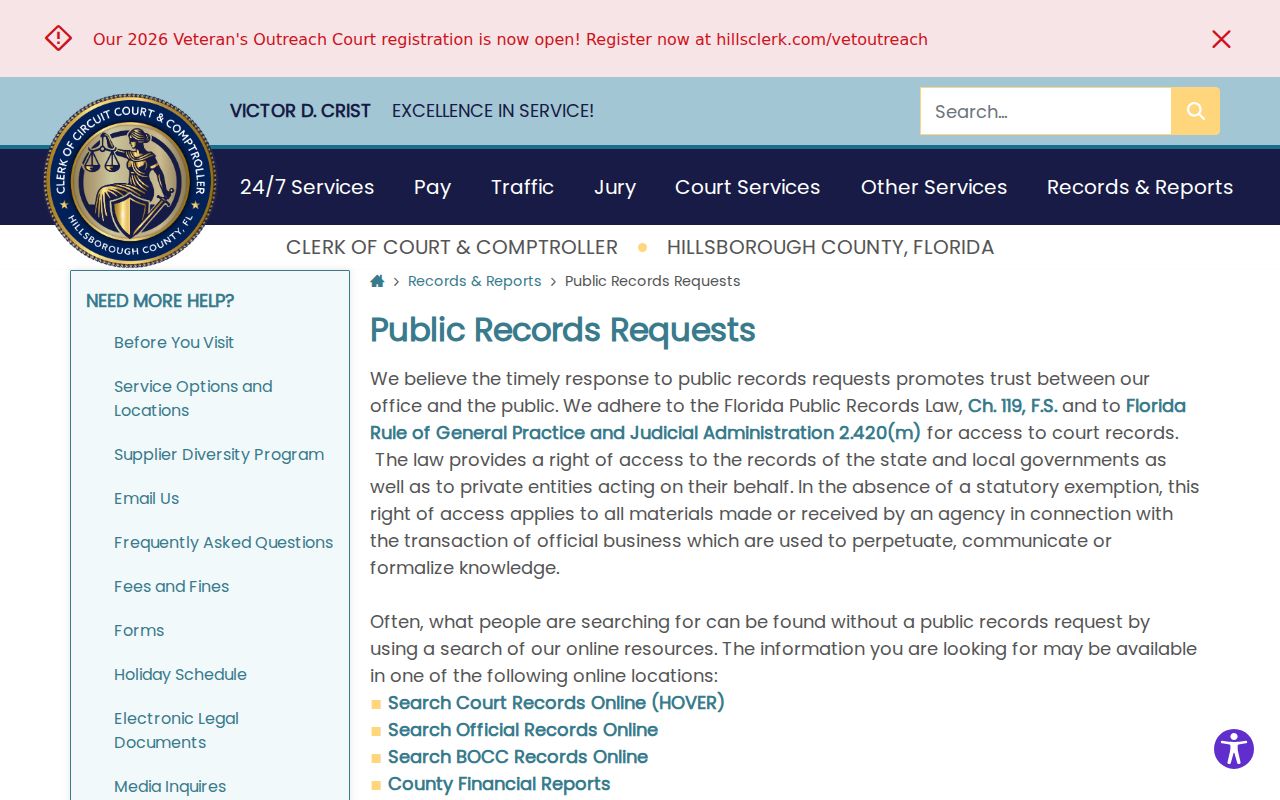
The page provides the fallback when an address search needs a historic parcel card, public data extract, or record that is not remotely indexed.
The Clerk's public-data source is also available through downloadable files.
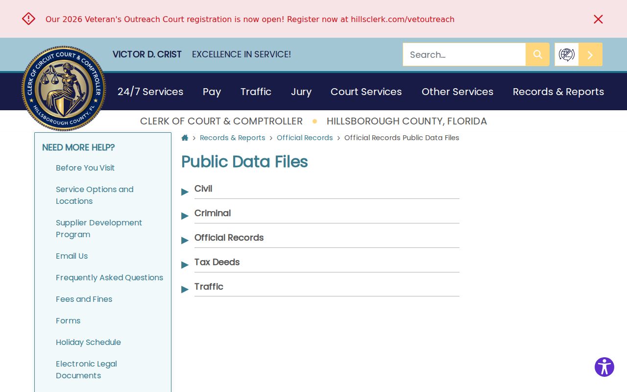
Bulk files can be useful for lawful street filtering, but the field date and statutory redactions still control what the rows mean.
Plant City Street Directory Limits
No Plant City street directory is a complete resident roll. Property records omit renters and household members. A voter report omits people who are not registered and suppresses protected data. Directories include only listed people in covered editions. DMV addresses are restricted under the federal Driver's Privacy Protection Act and Florida law, and utility customer data is not a general public directory.
Safe at Home participants and other protected classes may use substitute or suppressed addresses. Do not try to defeat that protection. A street record may also lag a move, carry a trust or entity owner, or show a mailing destination far from the site.
Dates matter as much as names. The current assessment roll, the execution and recording dates on a deed, a permit application date, a voter file extraction date, and a directory edition can describe different points in one address history. Keep those dates in the notes. If two sources disagree, return to the folio, legal description, and original record image instead of choosing the more convenient name.
Spelling and formatting can also hide a valid hit. Search a directional both as a word and an abbreviation. Try street suffix variants, former surnames, compound surnames, initials, and entity names exactly as shown on the parcel card. Rural routes in an old Plant City directory may not translate cleanly to a modern house number. A corporate or trust owner should remain labeled as an owner unless another official source identifies a person and explains the role.
A public index can show that a record exists even when the image is unavailable online. Hillsborough restricts remote images for selected death certificates, military discharges, and family, juvenile, or probate material. The next step may be a public workstation, a certified-copy request, or proof of eligibility. It is not a reason to infer what the hidden document says.
Lawful use. Plant City address records are for lawful personal and family research. Never use them to stalk, harass, intimidate, expose a protected address, or harm another person, and always verify a match with the record custodian.