
Plant City Neighbor Record Layers
The immediate-block method uses one row per parcel. Record street number, folio, subdivision, lot and block, displayed owner, mailing city, homestead indicator, recent sale, and source date. Label corner parcels separately. Condominiums, mobile-home parks, and common land need extra care because one polygon may not represent one household.
| Source | What It Shows About a Block | Access |
|---|---|---|
| HCPA GIS | Parcel shapes, owner display, mailing and situs fields | Free map; protected data may be suppressed |
| HCPA parcel card | Folio, legal description, exemption, sales | Free web view, phone, or office |
| Requested voter file | Public registration fields by reported address | Supervisor request; exemptions apply |
| Recorded plat | Subdivision lot and block pattern | Clerk index, archive, or request |
| Association filing | Public entity officers and contact | Sunbiz; not a member roster |
| Historic directory | Listed occupant in a named edition | History Center or library |
An owner line proves how the assessment roll names the taxable interest. It does not identify renters, relatives, children, utility customers, or every person present. A homestead exemption is useful support for an owner's principal residence in that assessment context, but it is not conclusive proof of current occupancy.
Plant City Neighborhood Orientation
Common local orientation names include Walden Lake, Historic Downtown and its residential district, the Improvement League area, Midtown, North Park and Laura Street, Cork, and rural eastern or southern communities. They are useful labels, not a complete city-approved association inventory. Postal areas also cross the city line, especially in broad rural delivery territory.
Confirm an association's legal name and officers through Sunbiz before using a public contact. A corporate officer address shows what was filed for the entity, not that the officer lives beside the target parcel. A private HOA roster does not become public merely because an association exists.
Map Plant City Neighbors by Parcel
Use the HCPA Property Search and GIS map. Search the normalized target address, select the parcel, and note its folio and legal description. Zoom and click adjoining polygons one by one. Open each individual parcel card rather than copying labels from a broad map view.
- Find the address, then confirm that the municipality and situs fields match the intended place.
- Click parcels on both sides and across the street. Record each folio and lot separately.
- Compare owner mailing and situs addresses. Note homestead only as supporting evidence.
- Use a recorded plat when a corner, common area, or subdivision boundary is unclear.
This process flow is address to parcel, parcel to adjacent folios, folios to public parcel cards, then carefully labeled overlays. For an entire named road, switch to the Plant City street directory rather than extending a block worksheet without limit.
Plant City Block Voter Data
The Hillsborough voter self-lookup is designed for one voter and requires three identifiers. It is not a browse-by-block tool. The Supervisor offers six standard recurring data reports and accepts online, email, phone, and office requests. A defined geographic extract may require a custom request and charge. Protected people and exempt fields remain excluded, and vote-by-mail request data has separate recipient limits.
Registration residence is self-reported election information. It is not proof that someone slept at an address on the day of inspection, and voter activity never reveals ballot choices. Keep the report date. Do not fill missing rows from another source to defeat Safe at Home or an occupational exemption.
Plant City Neighbor Source Choices
Official rolls and commercial neighbor tools answer different kinds of questions. Official sources identify the custodian, field meaning, and update context. Commercial compilations may merge old, mailing, business, and phone data without a clear date. They should not replace the parcel card, voter custodian, plat, or dated directory.
| Source | Strength | Main limit |
|---|---|---|
| Official parcel and GIS | Current assessed ownership and parcel identity | Not an occupant roster |
| Official voter request | Dated public registration fields | Protected rows omitted |
| Historic directory | Listed occupant in one edition | Snapshot with gaps |
| Commercial compilation | Broad lead generation | Unclear source dates and merged address types |
Plant City Safety Record Context
Public safety systems are specialized records, not neighborhood directories. The Hillsborough arrest inquiry screen is captured below.
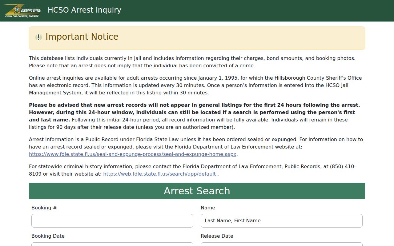
An arrest record does not prove guilt. Check the case disposition in HOVER and retain the booking or retrieval date.
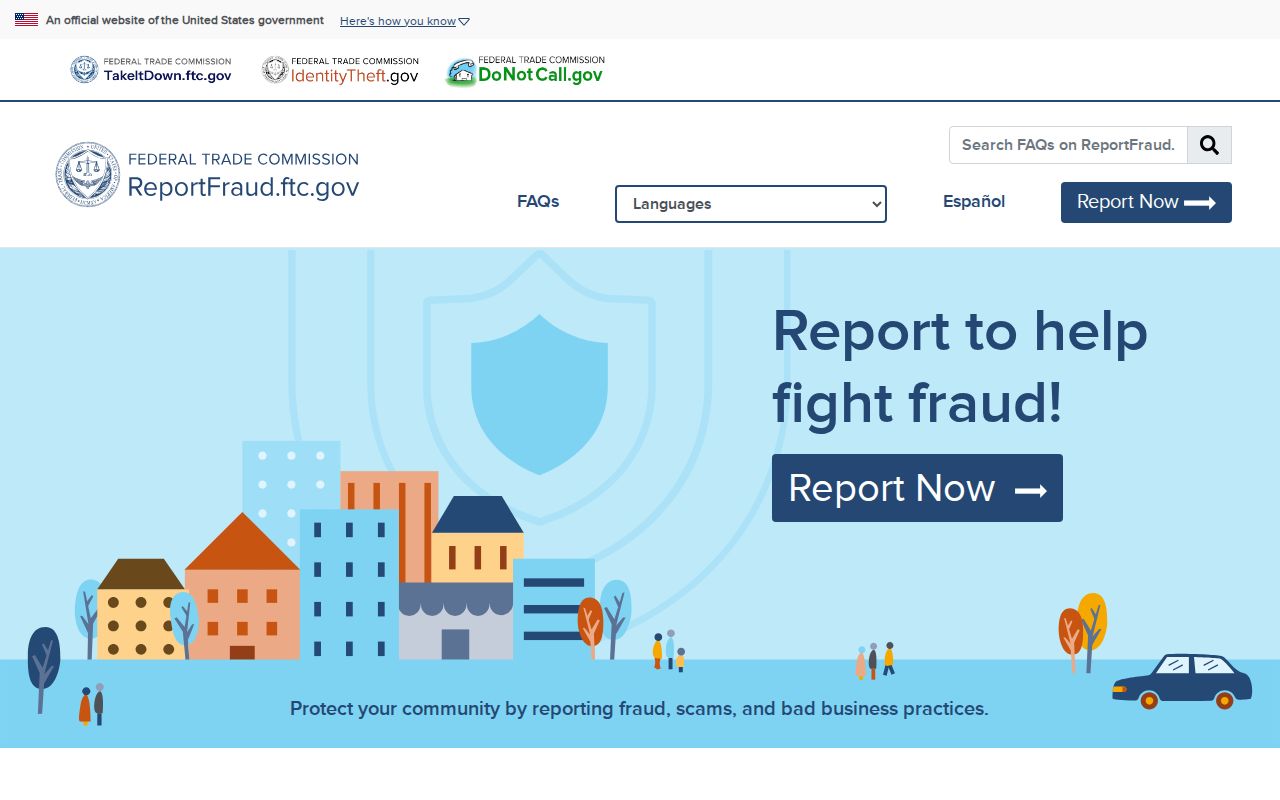
For suspected fraud, the FTC fraud reporting portal provides a federal reporting path.
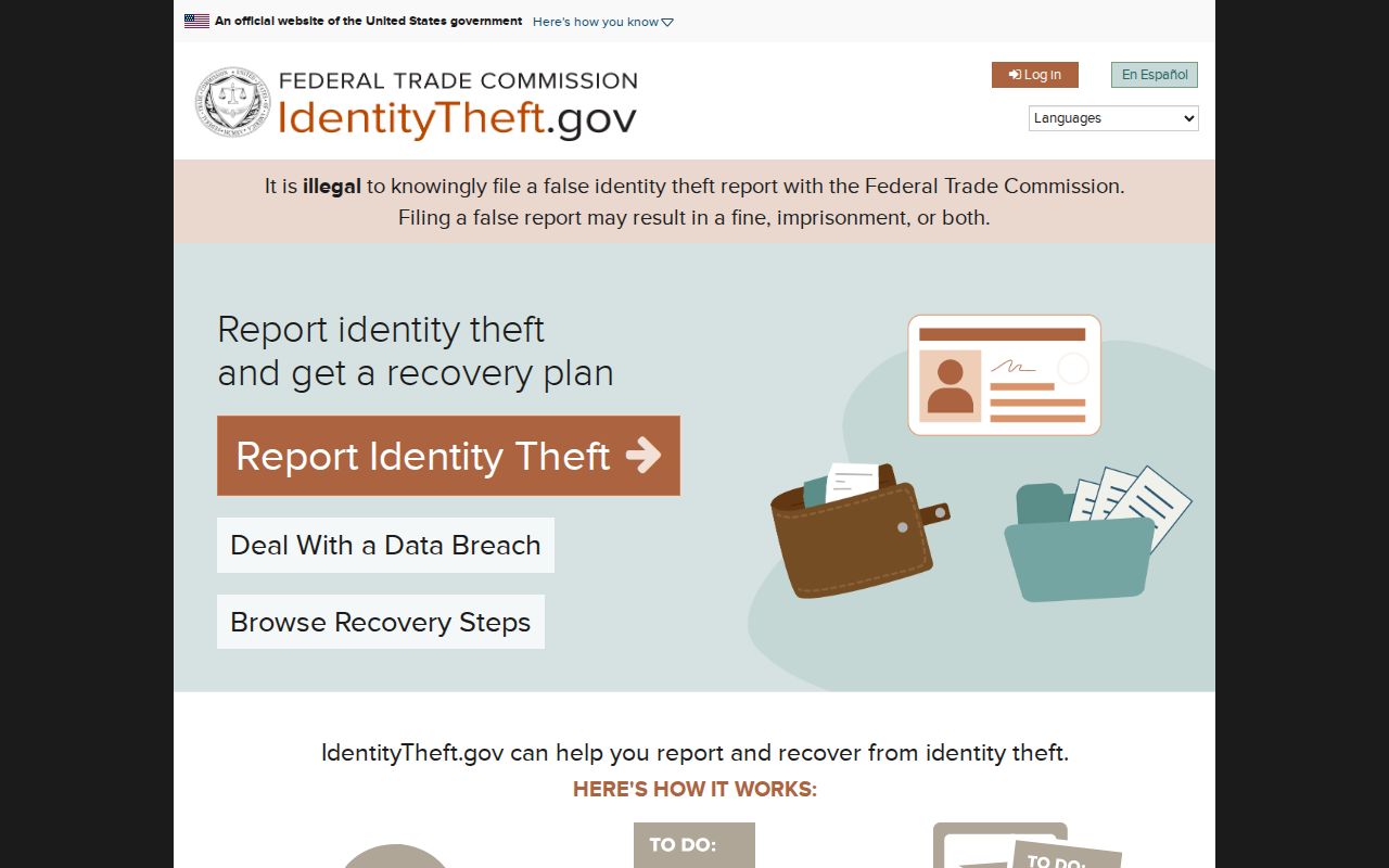
For identity theft recovery, use the official IdentityTheft.gov service.
Florida's free Treasure Hunt can also test an unclaimed-property claim without paying a finder.
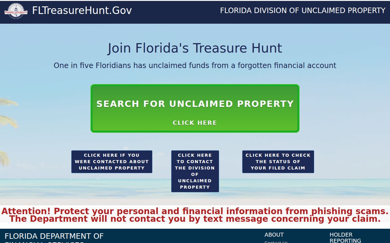
Each service should be used only for its stated purpose, never as proof of who currently lives next door.
Privacy Limits for Plant City Neighbors
Utility accounts, delivery data, motor-vehicle information, private association rosters, and ordinary household-member lists are not public neighbor rolls. Safe at Home supplies a substitute address and mail forwarding for qualifying protected people. Florida section 119.071 also protects specified occupational and personal address information. A suppressed parcel or voter row must remain suppressed.
Map captures should show controls and several parcel boundaries without spotlighting a private person. Public association contact may be used for civic questions, but it does not justify publishing a member list. Florida stalking and cyberstalking law, section 784.048, applies when information is used for repeated harassment or threats.
Lawful use. Getting to know a block, civic curiosity, and personal safety are legitimate. Never use neighbor records to watch, harass, intimidate, expose, or harm anyone.
Historic Plant City Neighbors
For a past block, use a reverse or criss-cross section from a named Plant City directory edition. The History Center reports Polk directories from various years between 1955 and 2000, while a Miller volume is verified for 1937-1938. Check whether the chosen book actually has a street section. A listed subscriber is dated evidence, not a complete household.
Sanborn maps for 1909, 1914, 1919, and 1925 can supply building footprints and old block context. Directories identify listed people; maps identify structures. Pair both with a recorded plat or legal description when numbers changed. A modern Plant City ZIP may also differ from a pre-2002 record even when the street stayed fixed.
Build a dated block worksheet instead of a permanent neighbor list. Use one row per parcel for the street number, folio, subdivision or legal description, owner display, mailing-city difference, homestead indicator, latest sale, and source date. Mark lots across a corner as a separate block face. Condominiums, mobile-home parks, and shared tracts need extra care because a mapped polygon may represent common land rather than one home. The worksheet should state only what each public layer proves. It should never fill gaps with guesses about renters, relatives, children, utility customers, or deliveries.
A lawful second layer can add context without turning the worksheet into surveillance. A requested voter file can show permitted address fields after statutory exclusions, but registration does not prove physical presence. A reverse directory can identify the listed subscriber for one historical edition, not all people in the house. A Sunbiz filing can verify an association's legal name and public officer contact, yet that role and address are not proof that the officer lives on the block. For current civic questions, contact the published association or city office. For a factual claim about one parcel, return to the HCPA card and dated source.
The county voter self-lookup is not a neighbor browser. It asks for first name, last name, and date of birth, then returns a personalized registration result. For lawful street analysis, request an available standard voter data file from the Hillsborough County Supervisor of Elections. Published choices include all eligible, all active, party-based reports, and the prior month's new voters, with reports prepared after the fifteenth. Public address fields remain subject to exemptions, Safe at Home protection, and statutory restrictions. Voting history indicates participation, never a person's ballot choices.
Plant City neighborhood names help orient a search but do not replace parcel facts. Walden Lake, Historic Downtown, the Improvement League area, Midtown, North Park and Laura Street, Cork, and rural eastern or southern communities appear in local usage. The city has not published a complete current association roster. Verify an organization through Sunbiz or its own public contact page before relying on it. A board listing can help route a question about shared property or community business, but a private HOA membership roll should not be treated as an open residents directory.